


Evolution of Global and Regional Water Storage and Water Fluxes Under Climate Change: Past, Present, and Future
Excited to share our latest article collection focusing on one of the most critical challenges of our time – understanding how climate change is transforming our planet’s water systems! 💧
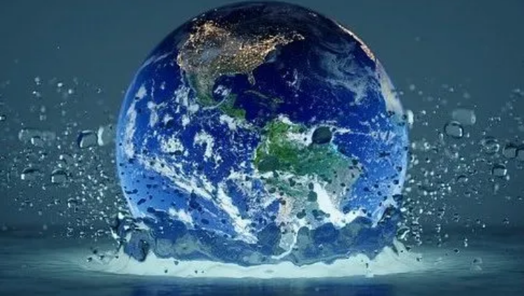
Climate change is fundamentally altering the global hydrological cycle, with extreme events like floods, droughts, and heatwaves increasing in both frequency and magnitude over the past three decades. 🌡️ 🌊 🏜️
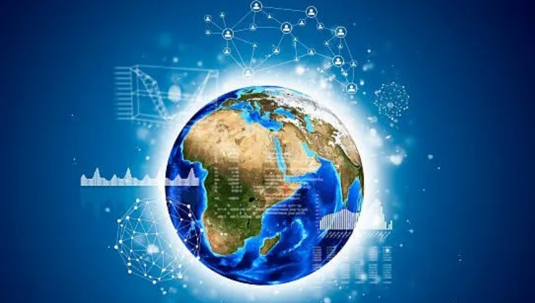
Led by Ehsan Forootan, Vagner Ferreira, Luca Brocca, Yu Zhang, and C K Shum, this collection integrates cutting-edge research using:
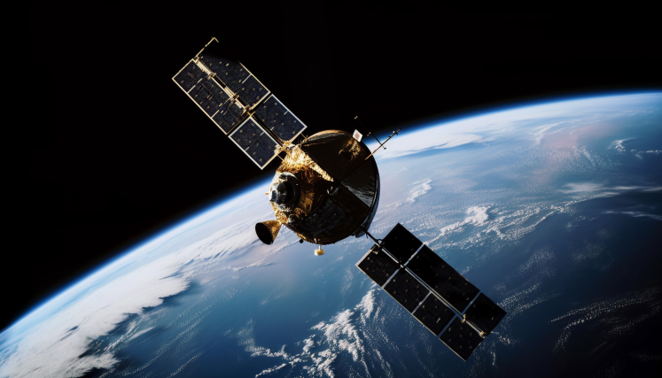
• Gravity missions like GRACE/GRACE-FO measuring Earth’s water storage variations 🛰️
• High-resolution imagery from Sentinel-2 and the historic Landsat series 📸
• Radar technology from Sentinel-1 and other SAR missions for all-weather monitoring 📡
• Specialized sensors like SMAP for crucial soil moisture data 🌱
• Revolutionary new missions like SWOT providing unprecedented observations of Earth’s surface water 💦
#ClimateChange #Hydrology #RemoteSensing #WaterResources #Sustainability #Research #ScienceCommunication
We’re seeking contributions addressing:
• Novel remote sensing applications for water monitoring 🔍
• Advanced hydrological modeling incorporating climate projections 📊
• Data-model fusion techniques improving prediction accuracy 🧩
• Historical analyses of observed water changes 📜
• Future projections under various climate scenarios 🔮
• Methods distinguishing climate signals from natural variability 📈
• Integrative approaches linking water changes to societal impacts 🏙️


Satellite-based hydrological data assimilation
Duration: 26th-28th August 2025
This Summer School will focus on advanced techniques for measuring and modeling the water cycle, as well as integrating Satellite Gravity, Satellite Altimetry, and Soil Remote Sensing into large-scale hydrological models. Participants will be introduced to ensemble-based sequential Data Assimilation (DA) techniques for merging satellite data with models.


Duration: 05.2025-07.2027
The research of SFAS addresses challenges of developing high resolution large-scale combined flood inundation and water resources early warning especially in data sparse regions. The main goal of is to understand coupling processes that lead to extreme hydrological events.


Duration: 10.2024-09.2026
The research of DTE Hydrology Next is about building a hydrological twin for Europe as well as some other pilot demonstrations, e.g., in Africa.


Duration: 09.2024-03.2026
The research of SING is about the impact of future satellite gravity missions on the scientific applicaitons.


Duration: 04.2024-03.2029
Research on a novel method to combine physics-based modelling of the water cycle with physics-based calibration/data assimilation and data-driven methods.


Duration: 09.2024-08.2025
The research of MuSe-BDA is about how the climate change and anthropogenic modifications have been affecting the patterns of global rainfall, evapotranspiration, and stored terrestrial water and how these changes could be monitored or forecasted.


Duration: 09.2022-08.2026
This research project works on assimilating available multi-sensor satellite data into large-scale hydrological models. This project is funded by the Independent Research Fund Denmark.


Duration: 09.2020 – 02.2025
The project aims to address the multi-faceted challenges of water scarcity and food insecurity under climate change in the Horn of Africa Drylands, and thereby, to improve resilience to climate change.
Our Team and Satellites


